Showing posts with label Stevens Gulch. Show all posts

Saturday, June 1, 2013

Mt. Edwards Ski - 6.1.2013

Last Saturday Jordan and I headed up Stevens Gulch with hopes of skiing Mt. Edwards. When we skied the Goat's Finger during the monster spring 2011 we'd seen the thin snaking lines that drop off the summit of Edwards. With this year's great coverage up high, we were excited to see what we could find.

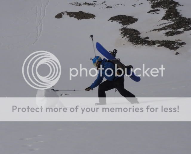
A fast approach brought us to the bootpack up Edwards' north face:


Jordan making quick work of the snowclimb:


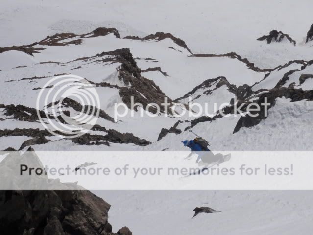
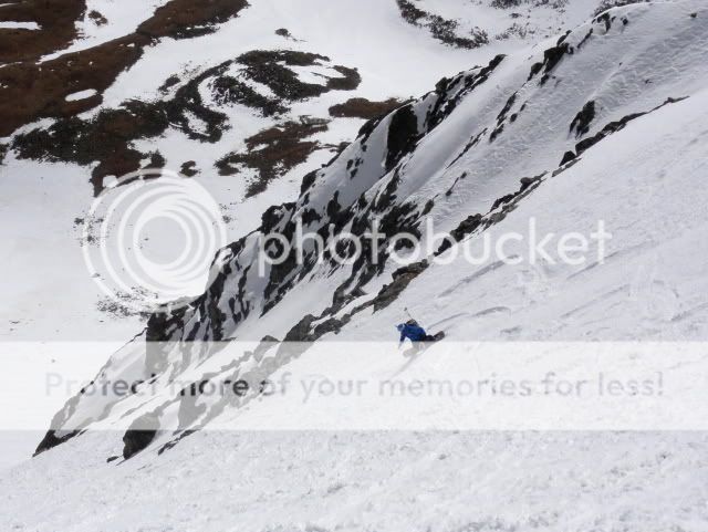
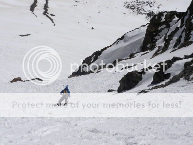
Getting into the chutes:


Thursday, April 26, 2012

Dead Dog Couloir - Torreys Peak Ski - 4.25.2012

Brennan and I wanted to get out for a tour on Wednesday, but with the recent extreme temperatures and freezing levels around 12000 feet, we knew we'd have to ski a high elevation line. We settled on Torreys with its easy access and high elevation. By 6:30 we were skinning up Stevens Gulch in some beautiful soft morning light. 

Brennan stops to enjoy the morning shadows and check out possible lines on Edwards and Grays:

After some interesting skinning over willows, around flowing water, and over thin crackling ice we reached the amphitheater under Torreys. At this point we put our skis on our backpacks, ate a snack and prepared to bootpack the rest of the way. Brennan had hoped to take the fun, direct, and efficient snow climb directly up the Dead Dog Couloir to reach the summit of Torreys. Unfortunately, my ice ax and crampons were in CB, so Brennan was nice enough to compromise with the more mellow hike up the bowl to the saddle between Grays and Torreys. 

Before we could continue Brennan had unfinished business to attend to:


OK, safe to continue...


I love bootpacking up steep snow, its much more efficient for gaining elevation than skinning. That being said, the short boot pack to the ridge worked me, coming back from sea level has been way way harder than I expected.

Brennan nearing the saddle:


Brennan, his GoPro, and Mount Edwards from the saddle:


From the saddle a quick walk up the nearly dry summer trail brought us to the summit:


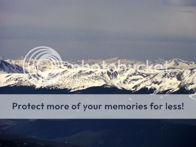
The morning had started off hazy with a layer of thin high overcast, but when we reached the summit it was clear enough to see all the way to the Elks. Pyramid, the Maroon Bells, Snowmass, and Capitol visible in the distance:


Looking down on the East Face the snow was still firm, we took advantage of the extra time at the summit to eat, stretch, talk, and enjoy the beautiful views. At 10:20 the snow quickly softened, and we prepared to drop in. After discussing our options and looking at the awesome, exposed East face we decided to drop into the East Face before cutting into the Dead Dog Couloir.

Brennan makes his first turns:


Looks a little thin down there:


After 500 vertical feet of steep, smooth turns we cut into the Dead Dog:


The southern walls of the couloir still held surprisingly winter-like snow, which combined with the sets of rock ribs made for surfy turns:


Brennan sticks to the south wall of the couloir, avoiding the sun affected snow in the middle:


The center of the couloir has definitely felt the recent warm weather, rock fall, and skier traffic. Brennan battles some chunder:


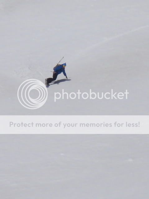
Then makes things interesting:


Plop!


After 1200 vertical feet of steep rock walls we reached the apron of the couloir, which held the smoothest snow of the day:


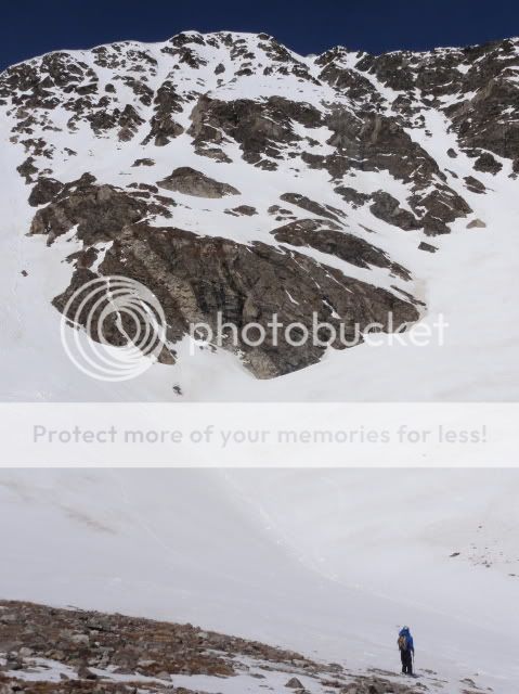
Dwarfed in the amphitheater under the East Face, we stripped off our jackets, ate a snack, and enjoyed the impressive walls of rock and snow above us:


From there a short walk brought us to continuous low angle snow that we followed all the way back to the trailhead.

Back at the trailhead, summertime again:


This was a fun line that I would definitely recommend. Its hard to beat the easy access and myriad lines available in Stevens Gulch. Comparing the East Face to the Dead Dog, the East Face provides more exposure and steeper turns than the Dead Dog.

Thursday, June 2, 2011

The Goats Finger Ski - Mt. Edwards - 6.1.2011

Tuesday night Jeff managed to convince me to ditch out on my work and get out for a quick ski in the morning. Since we both had stuff to do we settled on one of the many short north facing couloirs dropping into Stevens Gulch from the ridgeline between Mt. Edwards and Grays Peak. The strips of snow dropping off the summit of Mt. Edwards to the north provide longer lines, but are not set nearly as far into the rock.

The route

Jeff's awesome pictures from the line can be seen on his SmugMug.

A quick sled through the basin brought us to the bottom of the line. Coming up above timberline brought the amazing views of Grizzly Gulch, along with the haze and smell of smoke from the wildfires burning in the southwest. Combined with the morning light, the smoke produced beautiful colors in the basin, but, as I realized when I got home, had a surprisingly large effect on the clarity of my pictures.

The east face of Torreys

Grays Peak and the Lost Rat

Mt Edwards, its west ridge, and the Goats Finger

The Goats Finger

Jeff starts going up

As we started the hike, we immediately saw the amazing tracks left the previous day by Brennan Metzler and  Andy Dimmen on the East Face of Torreys, and by Andrew Oakley down the Dead Dog.

The East Face of Torreys

After hiking about 10 minutes I made the genius decision to see how well my helmet would slide back down to our starting point which it did wonderfully. The climb went quite quickly, starting out around 35 degrees then staying right around 43 degrees for the length of the coulouir.


Jeff finishing off the ascent
Jeff & Torreys

When I reached the top I was stoked to look south into the Peru creek drainage, although not intense, the SE face of Grays looks like one of those lines where you could 1500' of vertical in about 10 turns, I can't wait to ski that some day.
  
smoke towards Summit County

Ruby Mountain
Dropping in, the first 2 turns were bulletproof, but they were followed by the smoothest 1000 vertical feet of corn I have ever skied in a couloir, absolutely no evidence of past moving snow or rockfall to taint the snow surface.

Dropping!

Jeff Welch

Mike Records

Jeff

Mike

Jeff

Jeff
As it opened up at the bottom we were able to make big, fast turns through the rolling terrain back into the basin.

Jeff  & our light dust layer
Its interesting to see the dust from the previous storm, as it can in with a wind event that brought little or no precipitation, the dust has collected in low points on the snow surface where it is protected from the wind. Such as in the small drainage channels that can be seen in the picture of Jeff above. Overall, a great, quick mission: A fun climb, good snow, and a great partner in crime.

Tuesday, May 31, 2011

Lost Rat Couloir Ski - 5.30.2011

On Monday Grete and I set out hoping to ski the Tuning Fork or The Emperor Couloir on Torreys. The forecast 60 percent chance of snow and gusts of 55 mph didn't have us that optimistic, but after having both spent time away from the mountains the past week we were both just excited to get out.

The road from Bakerville is snowed in from about 100 yards outside of town, so we quickly parked and switched to the sled. In general sledding up the road went quite well, although there were several large dirt patches that we drove over. It was nice sledding on an established level road, as opposed to some of the silliness we have found ourselves on lately. We quickly had beautiful views of the sun striking Torreys.


The Emperor and Tuning Forks on Torrey 
As we hoped to ski a north facing line on Torreys, which would involve hiking back up the road from Grizzly Gulch, we parked the sled at summer trailhead and started the skin.

Parking Lot
The firm snow provided a fast surface, but we were quickly greeted by the strong wind gusts as forecast. I have never been in Stevens Gulch in the wintertime, so I had a great time enjoying the views as we were bounced around by the wind.

Grete w/ the north ridge of Edwards
As we got closer to the base of the Dead Dog we could make out at least 2 crowns high on the East face of Torreys. Although never in our trip itinerary, these served as a reminder of the recent avalanche death there and the slow transition to spring we have seen this year.

Torreys
As we began to gain elevation towards the saddle between Grays and Torreys the winds continued to increase. Figuring that we could always traverse back toward Torreys if conditions became more favorable we followed the mellow ridge south towards the top of the Lost Rat. As we skinned past 13000' we noticed that the freeze crust was getting thinner and thinner, this was enough for us to finalize our decision on Grays. At this point we felt a little silly for not just sledding right up to the bottom of the line, but in retrospect it was nice to get a bit more exercise and the rolling terrain below the couloir turned out to be a great runout. That being said, I can only image how fast this line could be skied if one were to sled right to the bottom of it...

Grete w/ Torreys

Entrance to the Lost Rat
We dropped at about 11:15, and not a moment too soon, as the clouds moved in by the time we were half way through the 800' chute. As usual, the winds that had kept the snow surface so hard outside the couloir were gone once we were in leading us with deep, but supportable corn.

Grete Gansauer
Little Mike
Below the line we enjoyed 1000 vertical feet of fun rolling terrain back to the sled. In all honesty I was really surprised by the Lost Rat, obviously its not classic, but considering the effort involved it was definitely a worthy adventure, and definitely a good backup for when bigger lines are off limits because of stability or weather.

Happy Mike
The way down was essentially a repeat of the way up, but with much nicer snow for the sled. That is where there was snow...

some sort of ancient ruin

too much of this

so glad this isn't mine
Monday marks a milestone in my short sled skiing career, this was the first day I did not get lost, stuck, delayed or break something. So, regardless of what I skied it was an overwhelming success.