
I've wanted to get out for a tour lately, but getting sick, overheating snowmobiles, and warm nights have conspired against us. I'm still feeling uncomfortable with the lurking deep instabilities that exist on northern aspects, so I've been looking for south facing lines to ski. After reading about what looked like a fun tour on Augusta over on 14erskiers.com, Rachel and I decided we'd give it a go.
Last week we tried to sled up Slate River to access Purple Mountain, but couldn't make it because our mountain sleds overheated every mile on the icy road. When I got home I installed new scratchers on my sled. Result: no overheating today!
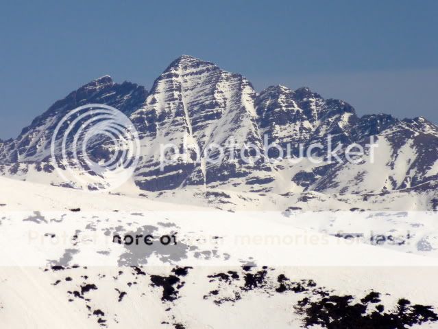
Augusta and Mineral Point in the morning light:

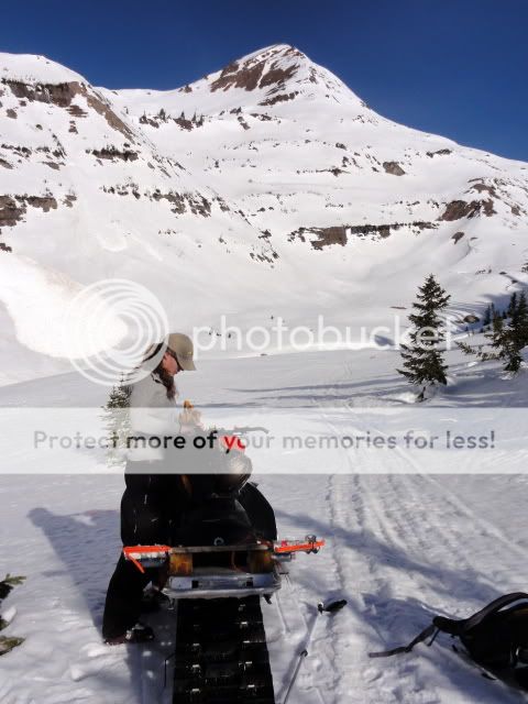
A 45 minute sled ride from the trailhead brought us to the bottom of the skin:
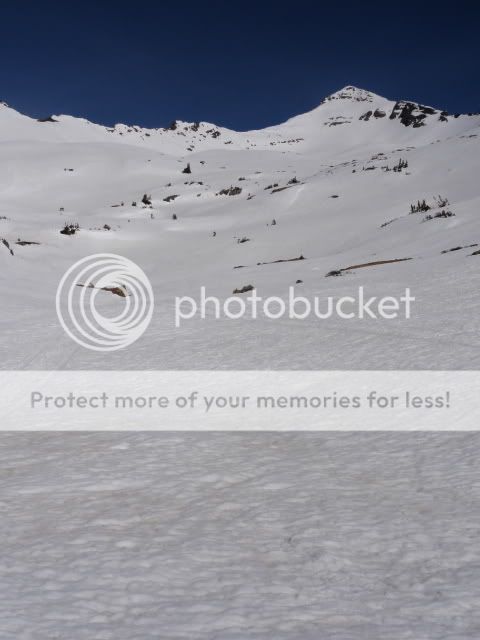
We observed several large, natural wet slides that I'm guessing occurred yesterday:

This one seems to have started off the waterfall in the top of the picture:

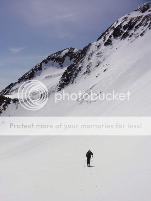
With the goal of getting to see more terrain, we decided to skin up the drainage between Purple and Mineral Point/Augusta. Rachel with Schuylkill Mountain:

Purple Mountain:
Before long we were on the the north side of Augusta. NOTABLY: on these northern aspects, the current long sunny period has changed the snow only enough to effect skiing quality, but not stability. The suncrust penetrates no more than an inch from the surface, and underneath that is winter snow that has not experienced any melt water penetration. This is the snow where deep instabilities still exist: depth hoar that has not been healed significantly by the long sunny period.
A skin up one final mini-bowl brought us to the ridgeline. Growing up in Northern Colorado, I'm always shocked to see east facing ridges above treeline that barely have cornices on them.

The ridge brought new views for me. The Ant and the Nipple:

Marcellina:
The West Face of Gothic is looking pretty thin:

Eventually, the ridge was too steep to skin:

A short bootpack brought us to the summit.

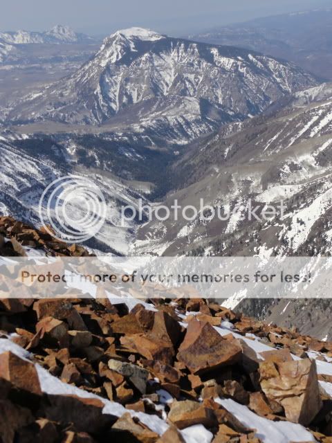
Where we were greeted with more incredible views. The Maroon Bells:
Pyramid:

Castle:

After pressing snooze for an hour this morning, we were well behind our intended summit time and ready to get down before the snow was too soft.

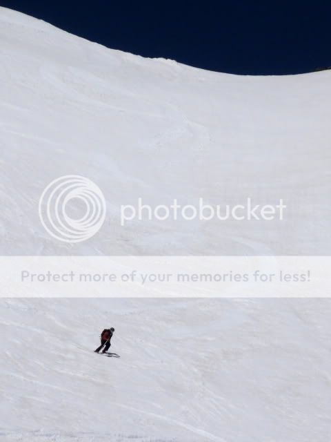
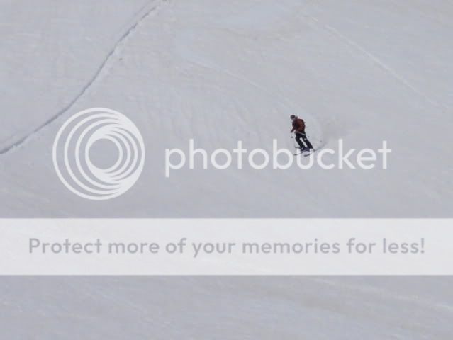
I dropped into the upper bowl first, and Rachel followed:
Yep, that was fun!

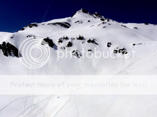
To the southwest we saw a cool little zone that has received a fair amount of traffic lately:

Another cool zone lower down:
After the upper bowl, we made our way through fun, benchy terrain back towards the sled. Yours truly:

Rachel:

And one last pitch back to the sled:

Back at the sled it was getting warm out, and we were ready to get out of there! After a mile and a half on the sled we came to stream crossing that had a snow bridge this morning:

With a little searching we found an unmelted snow bridge and were quickly back at the trailhead. What a fun tour! Certainly not the gnarliest peak out there, but its hard to beat quick sled access, stable south-facing corn, and new views.
Now for a bit of a rant about avalanche stability. I realize most of these things are rather obvious, and I am, to some extent, be preaching to the choir. With the recent warm and sunny period, people are getting after gnarlier terrain (which is awesome), but I've heard too many descriptions of the snowpack like "bomber", "locked down", "its already been skied", or "the last two weeks have healed the snowpack".
The sun has only significantly effected the the southern quarter of the compass. On east and western aspects the sun has developed a thick melt-freeze crust, but has not penetrated deep into the snowpack. At high elevations on the northern quarter of the compass (especially steep slopes) the sun has had almost no affect on the snowpack.
Its important to remember that for water to penetrate into the snowpack it has to raise the snow temperature to freezing before it can flow further into the snowpack. Otherwise the melt water will refreeze. This means that it takes a LONG time for water to reach the weak base of the snowpack and this has not happened above treeline on north and most east facing aspects. Yes, the top of the snowpack is strong on many aspects, providing bridging over the weaker basal snow. But, especially this year where the snowpack is thinner than usual everywhere, if you have the misfortune of skiing over a thin spot in the snowpack you can still trigger a devastating avalanche. And unlike storm snow, other people successfully skiing a line before you does not mean it is safe.
Skiing big lines with an extremely weak basal snowpack is a numbers game: most people will be fine, but every once and a while someone is going to hit that shallow weak spot and trigger a monster that there is no chance of escaping.
I think about lines I usually ski at this time of year, and I get a little sad. But you're right, this isn't a great year to push anything at all, even now after all this sun. A good year to forget, when you get right down to it.
ReplyDeleteYeah buddy! Looks like a sweet tour with an awesome partner!
ReplyDeleteI Appreciate your avalanche/conditions thoughts; definitely needs to be heard. Unfortunately, I feel as though the reality is that most Colorado backcountry users play the numbers game on bridged layers over weaker basal snow EVERY season. This season, we are blessed with a challenging confliction; extensive knowledge of just how weak the basal snow is, along with the false confidence that comes with an early spring heat wave.
Thanks for the comments guys. Brennan - I agree that backcountry skiing carries inherent risks. My point is that recently I have noticed many people and some friends heading out into the backcountry with an unrealistic understanding about the stability of the snowpack. More than anything I'm trying to expose what I feel is a very significant misunderstanding about snowpack stability, so that people can make choices based more on facts than by assuming that the snowpack is safer than it is.
ReplyDeleteNice trip!
ReplyDelete